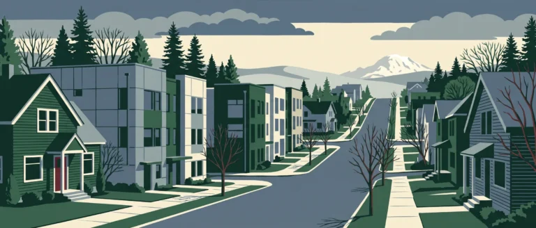
Montlake
Seattle's Capitol Hill district, about 2.57 miles from downtown, in King County.
On lots averaging 4,881 sq ft, Montlake's homes average 2,446 sq ft, larger than 90% of Seattle neighborhoods. In my parcel records the median year built is 1924, older than 95% of Seattle neighborhoods, and 93.9% of the 2,092 homes are single-family. I also found East Montlake Park and Foster Island among the parks inside its borders. Sidewalk coverage is estimated at 68.9%, lower than 60% of Seattle neighborhoods.
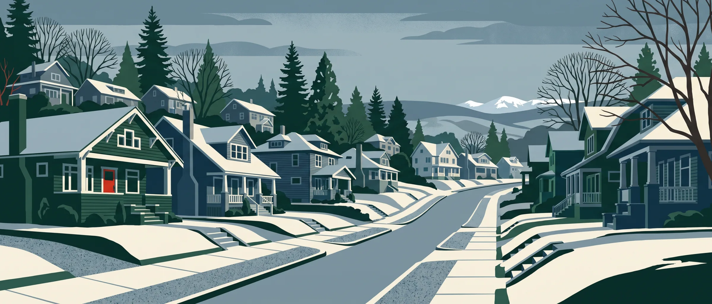
At a glance
- Area
- 489 acres
- Homes
- 2,092
- Median year built
- 1924 Older than 95% of Seattle neighborhoods
- Average home size
- 2,446 sq ft Larger than 90% of Seattle neighborhoods
- Average lot size
- 4,881 sq ft Smaller than 65% of Seattle neighborhoods
- Streets steeper than 8%
- 12.9% of street length Elevation 20–373 ft
- In FEMA's 100-year flood zone
- None
- Within 500 ft of a freeway
- 12.2% of residential lots
- New homes permitted
- 21 Fewer than 90% of Seattle neighborhoods Since January 2023
Share of residential lots: 93.9% single-family, 2.4% townhouse, 1.0% condominium, 1.7% duplex to fourplex, 0.8% apartment
I compared each figure with the 82 other Seattle neighborhoods I have researched that have at least 100 residential parcels.
Getting around on foot
- Intersections per sq mile
- 170
- Average block length
- 357 ft Shorter than 65% of Seattle neighborhoods
- Sidewalk coverage
- 68.9% (my estimate) Lower than 60% of Seattle neighborhoods
- Transit stops within ¼ mile
- 40 Fewer than 85% of Seattle neighborhoods
- Everyday categories within ½ mile
- 7 Fewer than 80% of Seattle neighborhoods
I compared each figure with the 82 other Seattle neighborhoods I have researched that have at least 100 residential parcels.
Parks and recreation
East Montlake Park, Foster Island (wash. Park), Grand Army Cemetery, Harvard-miller/roanoke Annex, Interlaken Park, Montlake Boulevard, Montlake Playfield, West Montlake Park
Schools in and near this neighborhood
- BERTSCHI SCHOOL
- Montlake Elementary School K–5 Seattle School District No. 1
- Tops K-8 School PK–8 Seattle School District No. 1
- SEATTLE HEBREW ACADEMY
- SEATTLE AMISTAD SCHOOL
- Stevens Elementary School K–5 Seattle School District No. 1
- FUSION ACADEMY SEATTLE
- HOLY NAMES ACADEMY
Food, drink and daily errands
- Restaurants
- 4
- Cafes
- 3
- Bars and pubs
- 1
- Grocery
- 0
- Pharmacies
- 0
Restaurants and coffee I found nearby
-
 Oxbow
-
 Café Lago
Patio
-
 Fuel
-
 Pagliacci Pizza
-
Copper Tree Coffee House
Patio
-
D’ La Santa
-
Gyro House
-
Son of a Butcher
-
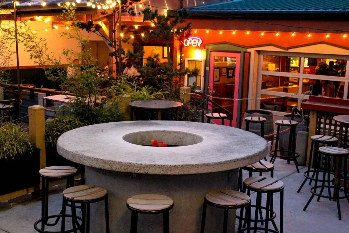 Pecado Bueno
Patio
-
Sushi Nori
I pulled these from OpenStreetMap: the nearest named restaurants and cafes, starting inside the neighborhood and measured from its edge. Places marked Patio have outdoor seating, from my research for Outdoor Seating Near Me, my other site; the photos come from that research too.
Housing context
- Median home value
- $1,586,000
- Median gross rent
- $3,500 or more
- Owner-occupied
- 92.8%
- Renter-occupied
- 7.2%
I pulled these from the census tract that covers this neighborhood, so they describe the tract, not the neighborhood itself. I report housing and housing cost only.