Lloyd District
Northeast Portland, about 1.46 miles from downtown, in Multnomah County.
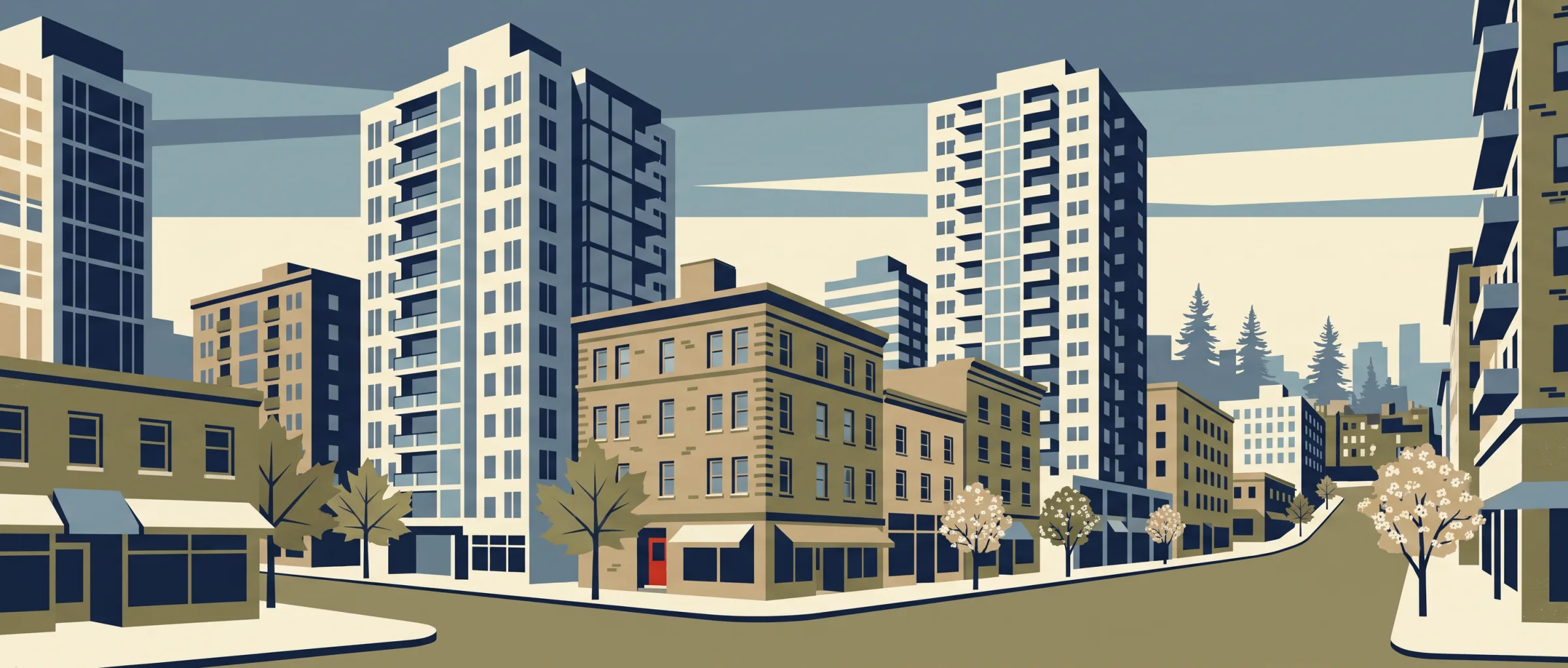
Apartment, condo and other multi-home properties make up 99.0% of the homes in Lloyd District, which stood out to me in the parcel records. I counted 135 transit stops within a quarter mile, and blocks average 262 ft with 207 intersections per square mile. Inside the boundaries I found 11 cafes and 15 restaurants. Tree canopy is 11.2%, a trade-off I noted.
Getting around on foot
- Intersections per sq mile
- 207
- Average block length
- 262 ft
- Sidewalk coverage
- 78% (my estimate)
- Transit stops within ¼ mile
- 135
- Everyday categories within ½ mile
- 8
Parks and recreation
Schools in and near this neighborhood
- CHESTERTON ACADEMY BLESSED PIER GIORGIO FRASSATI
- Benson Polytechnic High School 9–12 Portland SD 1J
- Alliance High School 9–12 Portland SD 1J
- Harriet Tubman Middle School 6–8 Portland SD 1J
- VILLAGE FREE SCHOOL
- Irvington Elementary School K–5 Portland SD 1J
Food, drink and daily errands
- Restaurants
- 15
- Cafes
- 11
- Bars and pubs
- 2
- Grocery
- 1
- Pharmacies
- 1
Restaurants and coffee I found nearby
-
 Red Robin
-
 Denny's
-
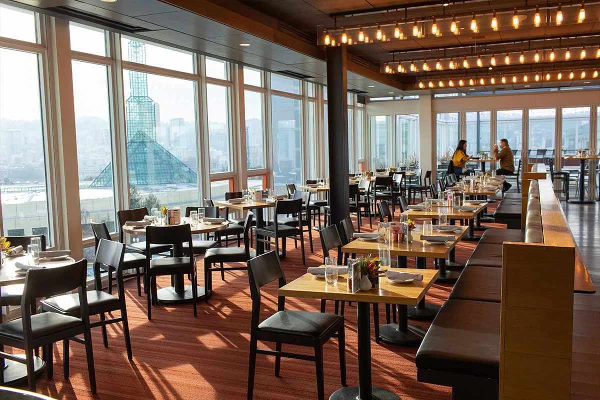 Metropolitan Tavern
Patio
-
 J Cafe
Patio
-
 Green Bridge Coffee
-
Cafe 700
-
Orbit Cafe
-
Dragonboat Grill
-
Bistro Elysium
-
Mashita Teriyaki
I pulled these from OpenStreetMap: the nearest named restaurants and cafes, starting inside the neighborhood and measured from its edge. Places marked Patio have outdoor seating, from my research for Outdoor Seating Near Me, my other site; the photos come from that research too.
Housing context
- Median home value
- $542,100
- Median gross rent
- $1,700
- Owner-occupied
- 7.6%
- Renter-occupied
- 92.4%
I pulled these from the census tract that covers this neighborhood, so they describe the tract, not the neighborhood itself. I report housing and housing cost only.


