Pleasant Valley
Southeast Portland, about 8.37 miles from downtown, in Multnomah County.
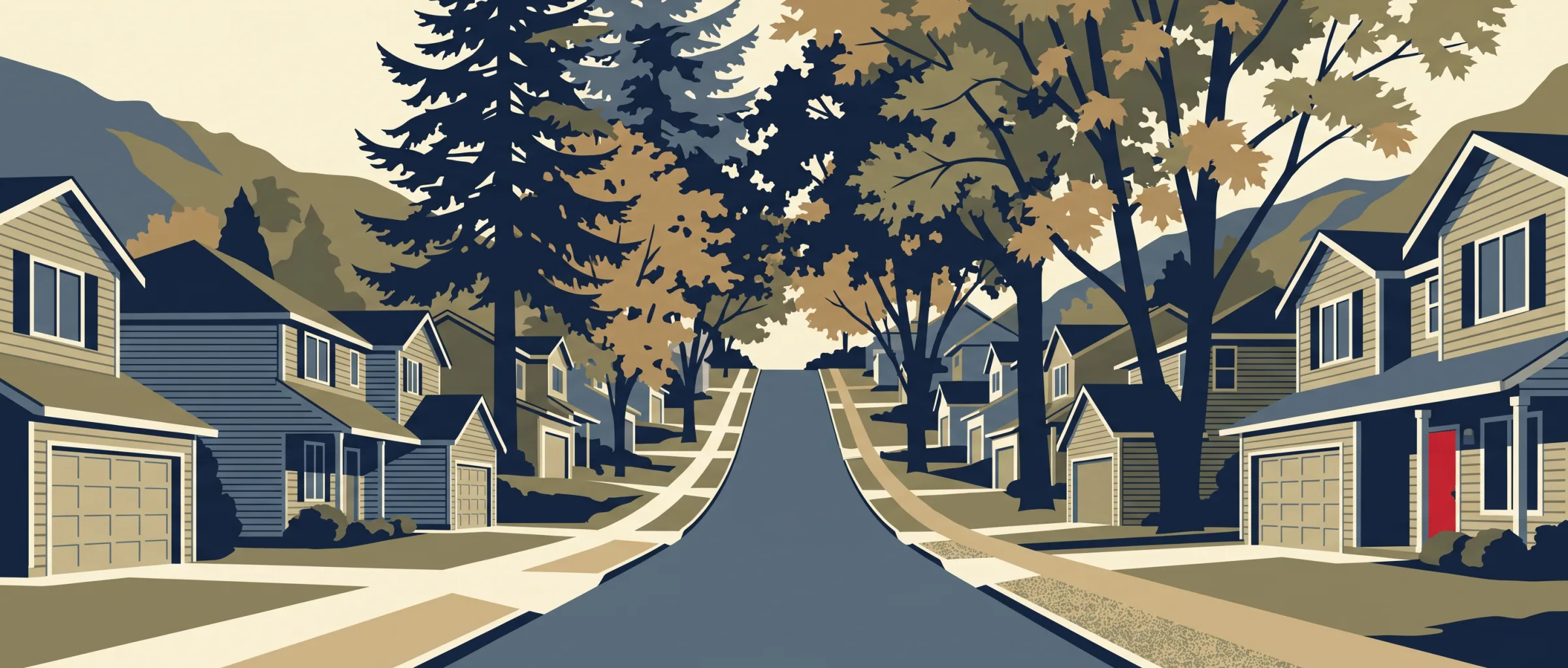
The street grid in Pleasant Valley is open: I found 49 intersections per square mile, fewer than 90% of Portland neighborhoods, and blocks averaging 383 ft, longer than 85% of them. Sidewalk coverage is an estimated 40.2%, a trade-off worth knowing. In my notes the lots stand out at an average 13,465 sq ft, larger than 90% of neighborhoods, alongside 53.9% tree canopy and parks such as Brookside and Buttes Natural Area.
At a glance
- Area
- 2,795 acres
- Homes
- 3,515 Counted in the 2020 Census, apartments and condos included
- Median year built
- 1997 Newer than 95% of Portland neighborhoods
- Average home size
- 2,277 sq ft Larger than 85% of Portland neighborhoods Houses and buildings of up to 4 homes
- Average lot size
- 13,465 sq ft Larger than 90% of Portland neighborhoods
- Tree canopy
- 53.9% More canopy than 85% of Portland neighborhoods
- Streets steeper than 8%
- 24.5% of street length Hillier than 85% of Portland neighborhoods Elevation 217–810 ft
- In FEMA's 100-year flood zone
- 1.7% of residential lots
- Within 500 ft of a freeway
- None The nearest is 0.8 miles away
- New homes permitted
- 16 Fewer than 65% of Portland neighborhoods Since January 2023
Share of homes: 74.3% single-family houses, 3.8% in 2–4 unit buildings, 21.8% in apartment, condo and other multi-home properties
I compared each figure with the 86 other Portland neighborhoods I have researched that have at least 100 residential parcels.
Architecture
- By my mapping, part of the Willamette National Cemetery Historic District lies within this neighborhood.
Getting around on foot
- Intersections per sq mile
- 49 Fewer than 90% of Portland neighborhoods
- Average block length
- 383 ft Longer than 85% of Portland neighborhoods
- Sidewalk coverage
- 40.2% (my estimate) Lower than 60% of Portland neighborhoods
- Transit stops within ¼ mile
- 83
- Everyday categories within ½ mile
- 8
I compared each figure with the 86 other Portland neighborhoods I have researched that have at least 100 residential parcels.
Parks and recreation
Brookside, Buttes Natural Area, Clatsop Butte Park, Deardorff Creek Natural Area, Eastridge Park, Kingsley D Bundy Property, Leach Botanical Garden, Mitchell Creek Natural Area, Powell Butte - Lower Floodplain, Powell Butte Nature Park, Springwater Corridor, Starpointe Natural Area
Schools in and near this neighborhood
- Gilbert Park Elementary School PK–5 David Douglas SD 40
- Alice Ott Middle School 6–8 David Douglas SD 40
- Powell Butte Elementary School K–5 Centennial SD 28J
- Centennial High School 9–12 Centennial SD 28J
Food, drink and daily errands
- Restaurants
- 4
- Cafes
- 0
- Bars and pubs
- 1
- Grocery
- 0
- Pharmacies
- 0
Restaurants and coffee I found nearby
-
 Golden Dynasty
-
 Ixtapa
-
La Costita Express Lotto
-
Chu's Eatery
-
Thai Curry
-
 Starbucks
-
Huckleberry's
-
New China Garden
-
Charlie's Teriyaki
-
Yami Sushi & Teriyaki
I pulled these from OpenStreetMap: the nearest named restaurants and cafes, starting inside the neighborhood and measured from its edge. Places marked Patio have outdoor seating, from my research for Outdoor Seating Near Me, my other site; the photos come from that research too.
Housing context
- Median home value
- $544,700
- Median gross rent
- $2,406
- Owner-occupied
- 96.9%
- Renter-occupied
- 3.1%
I pulled these from the census tract that covers this neighborhood, so they describe the tract, not the neighborhood itself. I report housing and housing cost only.


