Laurelhurst
Northeast Portland, about 2.8 miles from downtown, in Multnomah County.
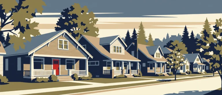
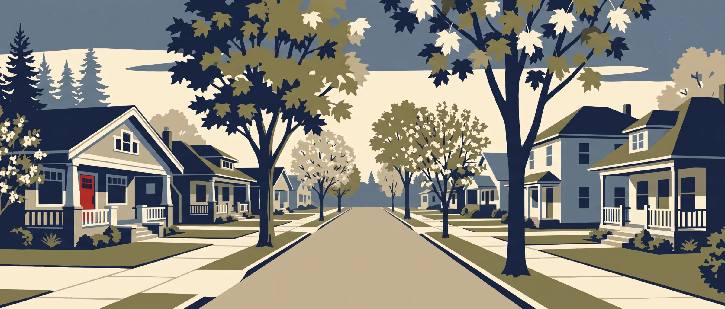
My notes on Laurelhurst start with the street grid: I counted 211 intersections per square mile, more than 65% of Portland neighborhoods, with sidewalk coverage estimated at 71.6%. The median home was built in 1923, older than 80% of the city, and the average home is 2,259 sq ft, larger than 80%. In the city's historic survey, which recorded only some homes, Bungalow made up 37% of those surveyed. Lots average 5,764 sq ft.
At a glance
- Area
- 425 acres
- Homes
- 1,920
- Median year built
- 1923 Older than 80% of Portland neighborhoods
- Average home size
- 2,259 sq ft Larger than 80% of Portland neighborhoods
- Average lot size
- 5,764 sq ft
- Tree canopy
- 38.2% More canopy than 70% of Portland neighborhoods
92.2% single-family, 7.8% 2–4 unit
I compared each figure with the 86 other Portland neighborhoods I have researched that have at least 100 residential parcels.
Architecture
- Bungalow
- 37% of surveyed homes
- American Basic
- 15% of surveyed homes
I took these styles from the 85 homes recorded in the City of Portland Historic Resource Inventory (1984). It surveyed significant buildings, not every home.
- By my mapping, most of this neighborhood lies within the Laurelhurst Historic District.
Getting around on foot
- Intersections per sq mile
- 211 More than 65% of Portland neighborhoods
- Average block length
- 352 ft Longer than 65% of Portland neighborhoods
- Sidewalk coverage
- 71.6% (my estimate) Higher than 60% of Portland neighborhoods
- Transit stops within ¼ mile
- 96
- Everyday categories within ½ mile
- 8
I compared each figure with the 86 other Portland neighborhoods I have researched that have at least 100 residential parcels.
Parks and recreation
Laurelhurst Park
Schools in and near this neighborhood
- Laurelhurst Elementary School K–8 Portland SD 1J
- Beverly Cleary School K–8 Portland SD 1J
- THE PORTLAND MONTESSORI SCHOOL
- Grant High School 9–12 Portland SD 1J
- Sunnyside Environmental School K–8 Portland SD 1J
- Glencoe Elementary School K–5 Portland SD 1J
- CENTRAL CATHOLIC HIGH SCHOOL
- SUNNYSIDE MENNONITE MONTESSORI SCHOOL
- da Vinci Middle School 6–8 Portland SD 1J
Food, drink and daily errands
- Restaurants
- 2
- Cafes
- 0
- Bars and pubs
- 1
- Grocery
- 0
- Pharmacies
- 0
Restaurants and coffee I found nearby
-
 Petite Provence
-
 TapTap PDX
Patio
-
 Laurelhurst Market
Patio
-
 Battlegrounds Gaming Cafe
-
 Rice and Spice Teriyaki
-
Blind Onion
-
Full Moon Thai
-
 Starbucks
-
Monster Smash Burgers
-
Happy Bibimbap House 2
I pulled these from OpenStreetMap: the nearest named restaurants and cafes, starting inside the neighborhood and measured from its edge. Places marked Patio have outdoor seating, from my research for Outdoor Seating Near Me, my other site; the photos come from that research too.
Housing context
- Median home value
- $913,500
- Median gross rent
- $1,385
- Owner-occupied
- 86.6%
- Renter-occupied
- 13.4%
I pulled these from the census tract that covers this neighborhood, so they describe the tract, not the neighborhood itself. I report housing and housing cost only.