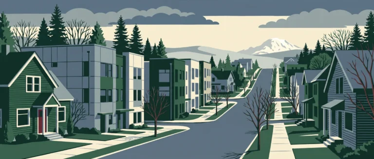
Central Business District
Seattle's Downtown district, about 0 miles from downtown, in King County.
My count of transit stops within a quarter mile came to 152, the figure that stood out most in the Central Business District's records. I also found 70 restaurants and 67 cafes inside its 216 acres, along with McGraw Square and Westlake Park. Sidewalk coverage is an estimated 84.5%, and the average block length is 305 ft. The one trade-off I noted is that I found only 1 grocery store inside the neighborhood.
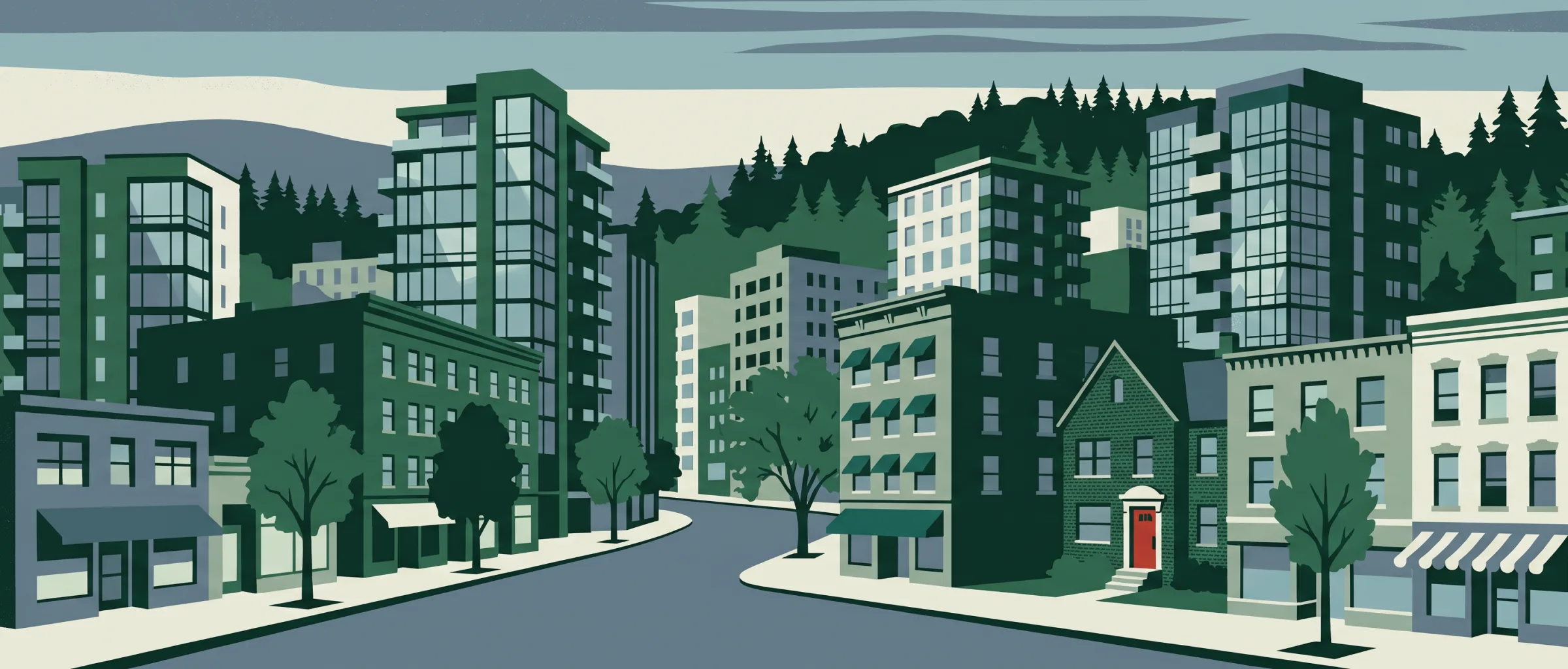
At a glance
- Area
- 216 acres
- Homes
- 4,660
- Median year built
- 1982
- Average home size
- 2,314 sq ft
- Average lot size
- 23,536 sq ft
26.5% condominium, 55.9% apartment
Getting around on foot
- Intersections per sq mile
- 264
- Average block length
- 305 ft
- Sidewalk coverage
- 84.5% (my estimate)
- Transit stops within ¼ mile
- 152
- Everyday categories within ½ mile
- 8
Parks and recreation
McGraw Square, Westlake Park
Schools in and near this neighborhood
- IDEAL SCHOOL
- SPRUCE ST SCHOOL
- THE NORTHWEST SCHOOL OF THE ARTS
- O'DEA HIGH SCHOOL
Food, drink and daily errands
- Restaurants
- 70
- Cafes
- 67
- Bars and pubs
- 19
- Grocery
- 1
- Pharmacies
- 1
Restaurants and coffee I found nearby
-
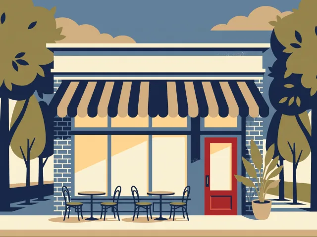 Purple Cafe and Wine Bar - Seattle
-
 The Capital Grille
-
Fogo de Chão
-
 Caffe Migliore
-
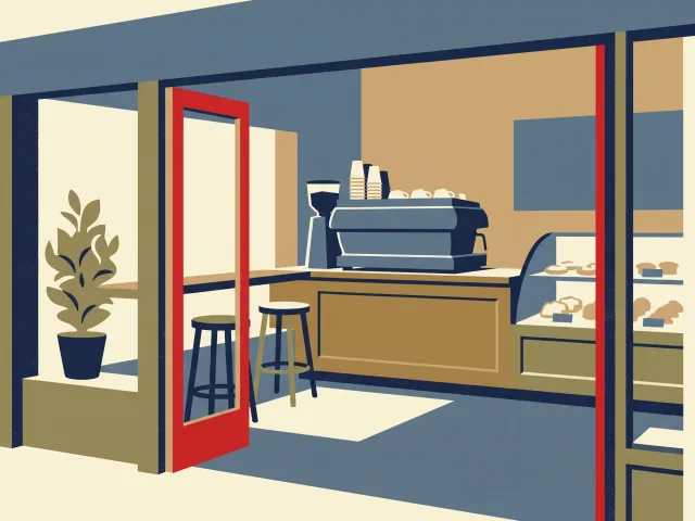 4th Avenue Espresso Bar
-
The Original Deli
-
Shuckers Oyster Bar
-
Kudedon Sushi
-
The George
-
Union Deli
I pulled these from OpenStreetMap: the nearest named restaurants and cafes, starting inside the neighborhood and measured from its edge. Places marked Patio have outdoor seating, from my research for Outdoor Seating Near Me, my other site; the photos come from that research too.
Housing context
- Median home value
- $894,200
- Median gross rent
- $2,767
- Owner-occupied
- 13.7%
- Renter-occupied
- 86.3%
I pulled these from the census tract that covers this neighborhood, so they describe the tract, not the neighborhood itself. I report housing and housing cost only.